The Project
The Cleveland–Delano District
A consolidated, historic silver-polymetallic district in Nevada's Basin and Range — repositioned as a modern, district-scale exploration opportunity.
Overview
A district with history, consolidated for modern exploration
Set in the Delano Mountains of Elko County, Nevada, the Cleveland–Delano district saw silver-polymetallic production in the early 1900s from underground workings at the Cleveland, Delano, Gold Note, and 86 mines. Like many districts of its era, work stopped for reasons unrelated to geology — metal prices, capital, and the limits of the technology of the day.
Cleveland–Delano Resources has consolidated the core of the historic district into a single land position for the first time in decades. That consolidation, combined with modern geophysics and structural interpretation, allows the district to be evaluated as one coherent mineral system rather than a patchwork of isolated prospects.
The project is exploration-stage. No mineral resource or reserve has been declared; the opportunity lies in systematically testing an interpreted target framework with modern methods.
81
Valid claims
~1,445
Acres
2021–25
Staged consolidation
Elko County
Nevada, USA
Ag-led
Pb·Zn·Sb upside
Pre-drill
Exploration stage
Location & Land Package
Positioned in a proven mining state
Nevada offers clear permitting pathways, established service infrastructure, and a deep pool of technical talent — meaningful advantages at the exploration stage.
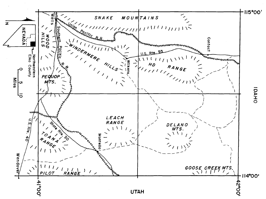

The current land package includes 81 valid claims covering approximately 1,445 acres across the interpreted system, consolidated in stages — most CLV claims located April–June 2025, with one Cleveland claim dating to 2021. Claim schedules and supporting documentation are available in the data room.
District Evolution
From historic workings to a modern exploration framework
- 01
Discovery & early production — early 1900s
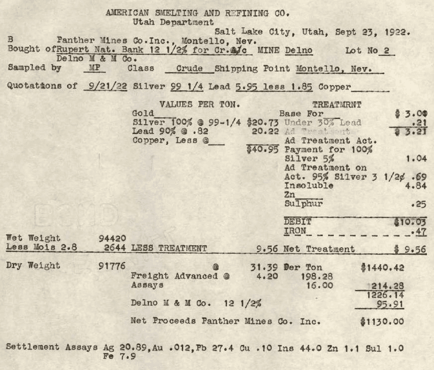
Underground mining of silver-polymetallic structures at the Cleveland, Delano, Gold Note, and 86 mines. Smelter settlement records — including a 1922 receipt preserved in the archive — document ore shipments from the district.
- 02
Dormancy — mid-20th century
Activity wound down amid depressed metal prices and fragmented ownership. The district saw only intermittent, localized work for decades.
- 03
Consolidation & expansion — CDR
The historic core and surrounding ground were assembled in stages into a single position — 81 valid claims across ~1,445 acres, with most CLV claims located April–June 2025 and one Cleveland claim dating to 2021.
- 04
Modern geophysics & interpretation — 2026
The 2026 drone magnetic survey — 599 line-km and 143,636 readings — with structural interpretation produced the first modern, integrated picture of the mineral system.
- 05
Next: systematic target testing
Technical review, target ranking, and preparation for a disciplined drill-testing program of the interpreted framework.
From the Project Archive
Underground survey sheets, production-era smelter receipts, and historic district mapping are preserved in the project archive — primary documents that anchor the district's history. Full scans are available in the data room.
Independent Validation
Six decades of third-party work reduce geological guesswork
Academic, governmental, and major-operator reviews converge on the same district-scale model — and large portions of the system remain untested by modern drilling.
- 1900s
Historic production & smelter records
Documented silver-polymetallic production from multiple mine areas, with smelter settlement receipts preserved as third-party evidence of the district's metal endowment.
- 1960
Olsen PhD thesis
Academic documentation of replacement geometry and the district structural framework.
- 1980
Nevada Bureau of Mines district report
Delano district reporting corroborates the system-wide carbonate replacement interpretation.
- '80s
Noranda technical evaluations
Institutional-operator mapping, underground drifting, and systematic sampling across the district — corroborating the structural and geological framework that guides current targeting.
- 2026
Modern geophysics & interpretation
The 599 line-km drone magnetic survey integrates the legacy record into one modern, district-scale target framework.
Six decades of independent review — academic, governmental, and major-operator — converge on the same district-scale model.
And large portions of the system remain untested by modern drilling.
Source documents — the Olsen thesis, Nevada Bureau of Mines reporting, Noranda-era mapping, and smelter records — are available to qualified investors in the data room.
All historical data is interpretive in nature and does not constitute a mineral resource or reserve estimate.
On the Ground
The district today
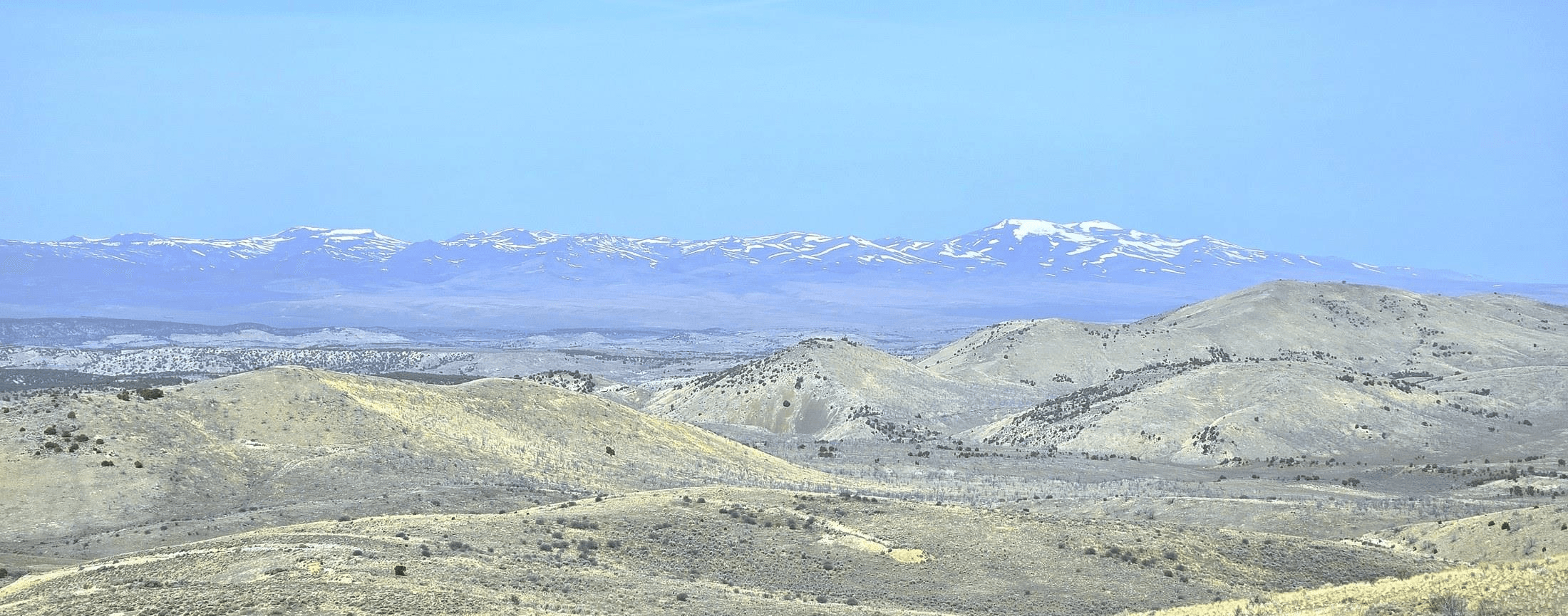
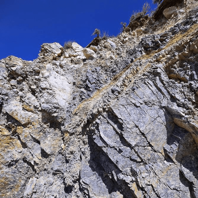
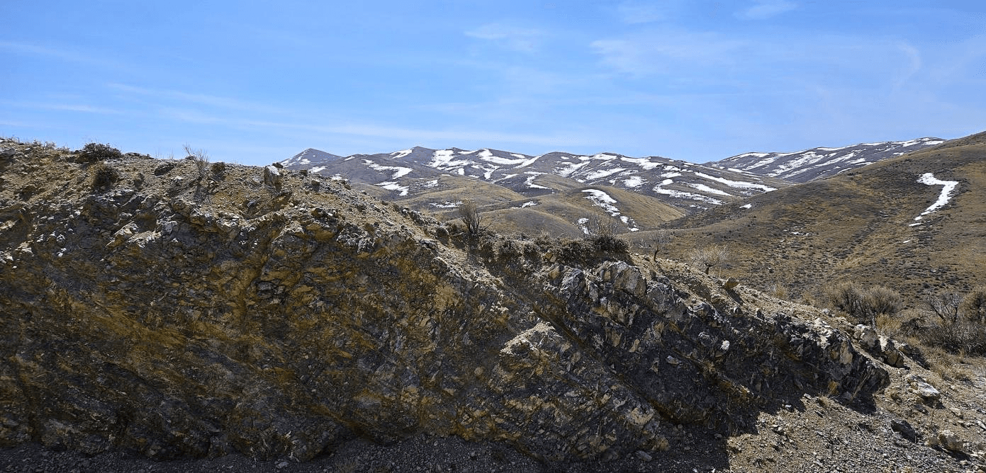
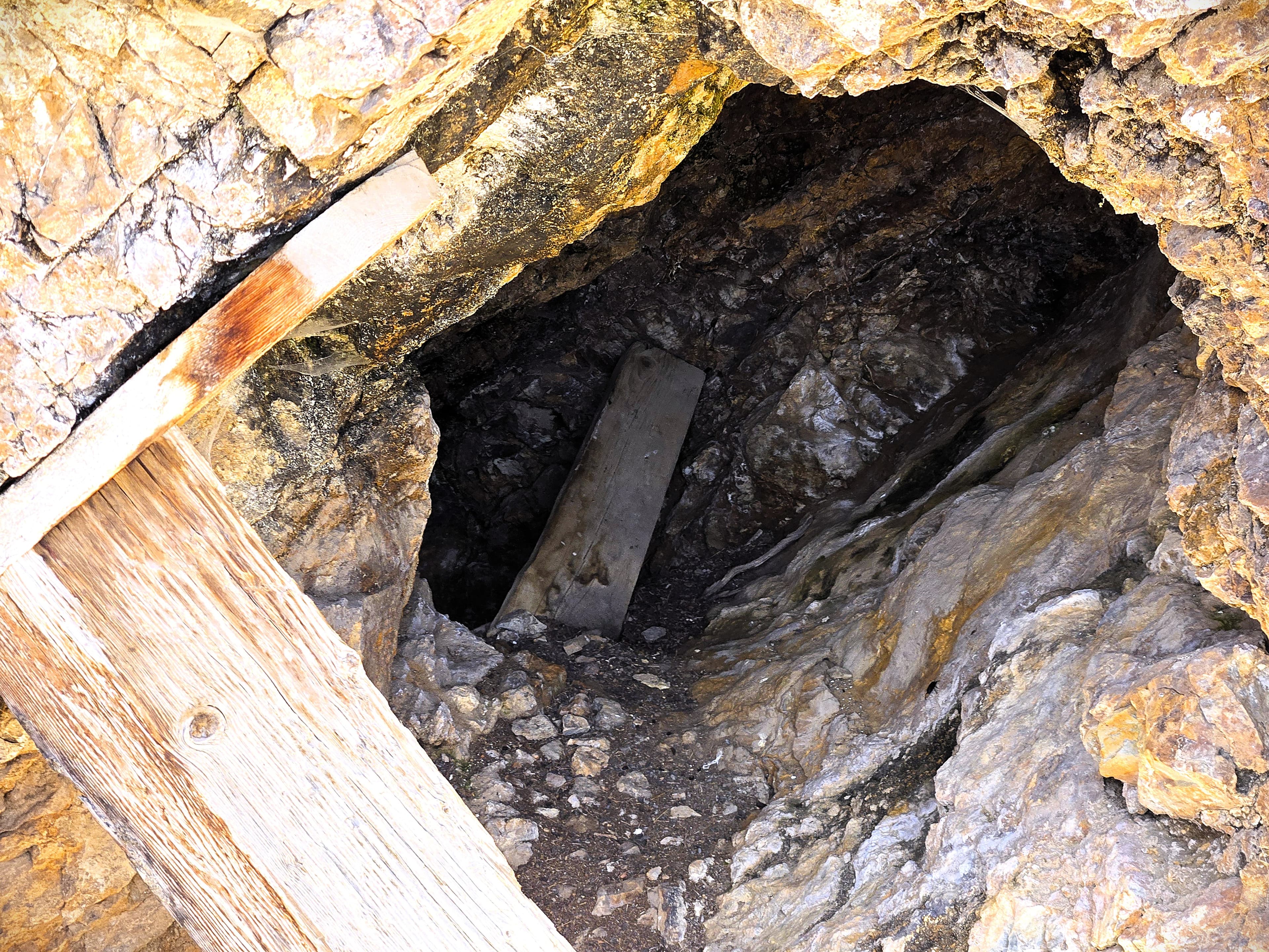
Outcropping alteration, accessible historic workings, and classic Basin and Range terrain.
Go Deeper
The technical picture, in the data room
Claim maps, acreage schedules, historic records, and the full technical memorandum are available to qualified investors.